통가섬 해양보호구역
Tonga Island Marine Reserve| 통가섬 해양보호구역 | |
|---|---|
| 위치 | 뉴질랜드 |
| 가장 가까운 도시 | 넬슨 |
| 좌표 | 40°52′49″S 173°04′28″E / 40.8802°S 173.0745°E좌표: 40°52′49″S 173°04′28″E / 40.8802°S 173.0745°E |
| 면적 | 1835 ha |
| 확립된 | 1993 |
| 통치기구 | 보존학과 |
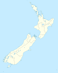
통가섬 해양보호구역은 뉴질랜드 남섬 북부해안에 있는 보호구역이다. 통가도를 둘러싸고 있으며 아벨 태즈만 국립공원 옆에 있다. 해양보호구역은 1993년에 만들어졌으며 면적이 1,835헥타르(7.08 평방 미)에 이른다.[1]
참고 항목
참조
- ^ "Marine Reserve (Tonga Island) Order 1993 (SR 1993/338)". New Zealand Government. 16 October 1993. Retrieved 16 April 2013.
외부 링크
- 통가섬 해양보호구역 보존과
- 통가섬 해양보호구역 현황표
- 7084613 오픈스트리트맵에 있는 통가섬 해양보호구역


