뉴저지 노만디
Normandie, New Jersey뉴저지 노만디 | |
|---|---|
 | |
 뉴저지 노만디 몬머스 카운티 인셋의 노르망디 위치: 뉴저지 주 내의 카운티 위치  뉴저지 노만디 노만디, 뉴저지 주(뉴저지 주)  뉴저지 노만디 노만디, 뉴저지 주(미국) | |
| 좌표: 40°22′47″N 73°58′30″w / 40.37972°N 73.97500°W좌표: 40°22′47″N 73°58′30″W / 40.37972°N 73.97500°W | |
| 나라 | |
| 주 | |
| 카운티 | 몬머스 |
| 자치구 | 바다 브라이트 |
| 표고 | 10피트(3m) |
| GNIS 피쳐 ID | 882521[1] |
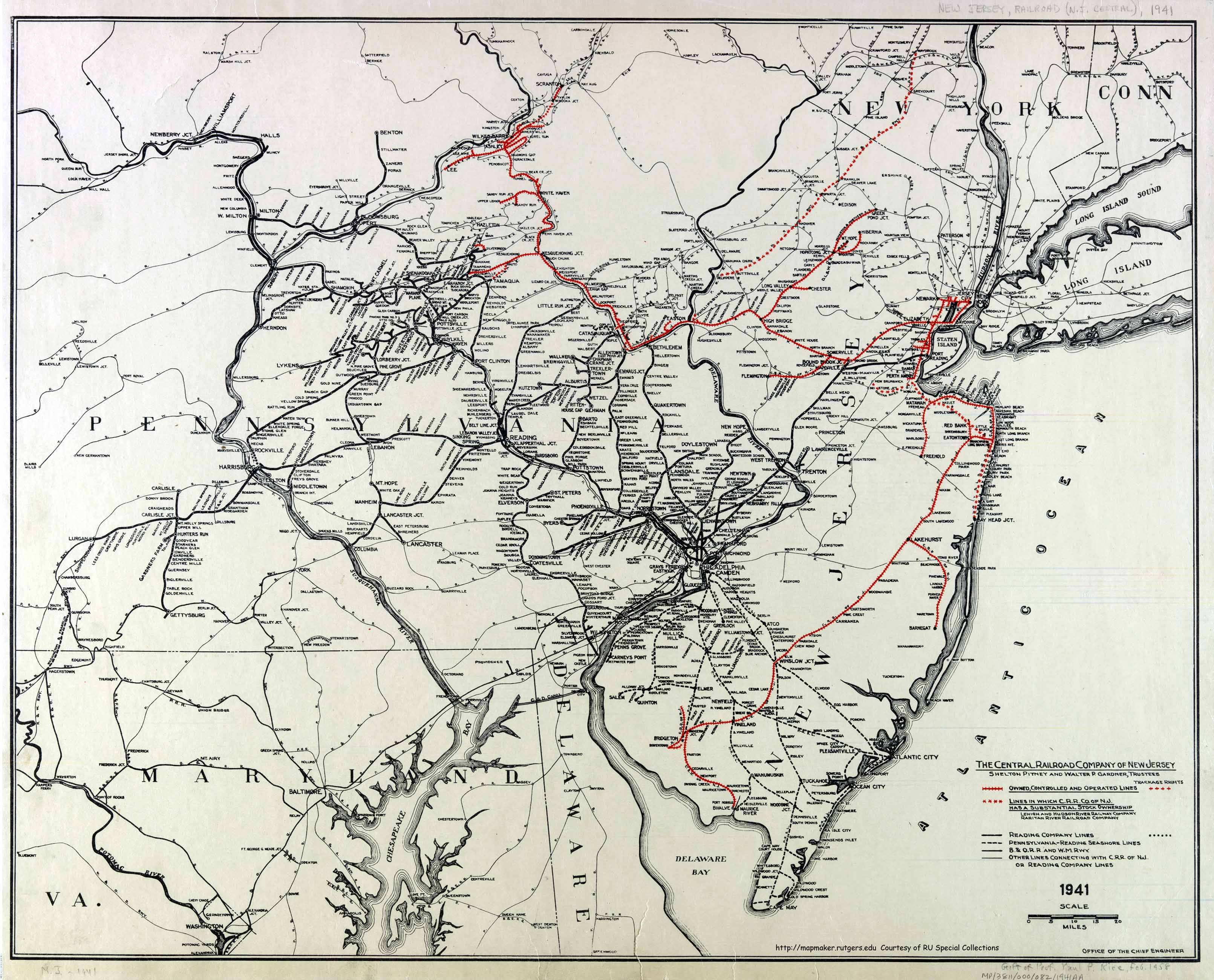
노만디는 미국 뉴저지 주 몬머스 카운티의 시 브라이트 안에 위치한 비법인 공동체다.[2][3] 이 공동체는 씨 브라이트 4대 건설 지역 중 하나로 뉴저지 남부 철도의 이전 정차역이다.[4] 슈루즈베리 강과 대서양 사이의 좁은 지대에 CR 520 드로브릿지 사이 36번 국도를 따라 럼슨과 샌디 훅에 위치해 있다.[3] 시 브라이트-몬머스 해변 방조제 인근과 나베싱크 해변을 통과한다.
참조
- ^ a b "Normandie". Geographic Names Information System. United States Geological Survey.
- ^ "NJDOT Graphic Information System Maps Salem" (PDF). New Jersey Department of Transportation. Retrieved March 29, 2020.
- ^ a b Google (February 27, 2015). "Normandie, Sea Bright, New Jersey" (Map). Google Maps. Google. Retrieved February 27, 2015.
- ^ Office of the Chief Engineer (1941). The Central Railroad Company of New Jersey (Map). Central Railroad of New Jersey. Retrieved October 4, 2015.


