롤린스 산
Rollins Mountain| 롤린스 산 | |
|---|---|
| 최고점 | |
| 표고 | 1,000피트(300m) NAVD 88[1] |
| 두각을 나타남 | 670피트(200m)[1] |
| 좌표 | 45°23′14″N 68°21′50″w/45.387343°N 68.363785°W좌표: 45°23′14″N 68°21′50″W / 45.387343°N 68.36785°W/ [1] |
| 지리 | |
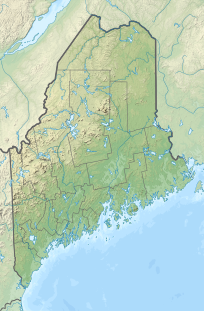
| 위치 | 미국 메인 주 페놉스코트 카운티 |
| 등반 | |
| 가장 쉬운 경로 | 하이킹, 1반 |
롤린스 마운틴은 페노브스코트 카운티 북동쪽에 있는 메인 주 링컨에 있는 산이다.이곳은 60 MW 풍력 발전소가 있는 곳이다.[2][3]일부 지역 주민들이 반대했다.[4]
참조
- ^ a b c "Rollins Mountain, Maine". Peakbagger.com. Retrieved 2012-05-05.
- ^ Turkel, Tux (November 15, 2010). "Will turbines rise on Rollins Mountain?". pressheraldcom. Portland Press Herald. Retrieved June 6, 2019.
- ^ Sambides Jr, Nick (June 12, 2011). "$130M Rollins Mountain wind project almost ready". BangorDailyNews.com. Bangor Daily News. Retrieved June 6, 2019.
- ^ Smith, Donald (December 6, 2010). "Why I was Arrested protesting First Wind's Rollins Mountain wind project". Retrieved June 6, 2019.
I am not a NIMBY. I don’t believe these industrial machines belong anywhere in the rural landscape. Not in anyone’s yard – back, front or side.


