동펑
Dong Peng| 동펑 다중이용관리구역 | |
|---|---|
IUCN 범주 IV(거주/종류 관리 영역) | |
| 위치 | 캄보디아 고콩 주 |
| 가장 가까운 도시 | 시아누크빌 |
| 좌표 | 11°9.131˚N 103°40.734′E / 11.152183°N 103.678900°E[1]좌표: 11°9.131′N 103°40.734′E / 11.152183°N 103.678900°E/ [1] |
| 면적 | 27,700 ha(107 sq mi)[2] |
| 확립된 | 1993[2] |
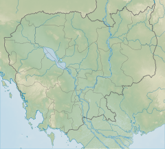
동펑은 캄보디아 고콩 지방의 보호 다중이용 관리 지역이다. 콤퐁 솜 만 북쪽 끝에 위치한다.
참조
- ^ Mark Spalding; Mark Spalding, Mami Kainuma and Lorna Collins; Mami Kainuma; Lorna Collins (2010). World Atlas of Mangroves. Earthscan. pp. 130–. ISBN 978-1-84977-660-8.
- ^ a b "Royal Decree on Protected Areas". Open Development Cambodia. Retrieved 27 December 2013.


