로파 강
Lofa River| 로파 | |
|---|---|
| 위치 | |
| 나라들. | 기니와 라이베리아 |
| 물리적 특성 | |
| 출처 | |
| • 위치 | 기니의 마센타 현 |
| 입 | |
• 위치 | 로버츠포트 남쪽의 대서양 |
• 좌표 | 6°34′26″N 11°3′38″w/6.57389°N 11.06056°W좌표: 6°34′26″N 11°3′38″W / 6.57389°N 11.06056°W |
• 고도 | 0m(0ft) |
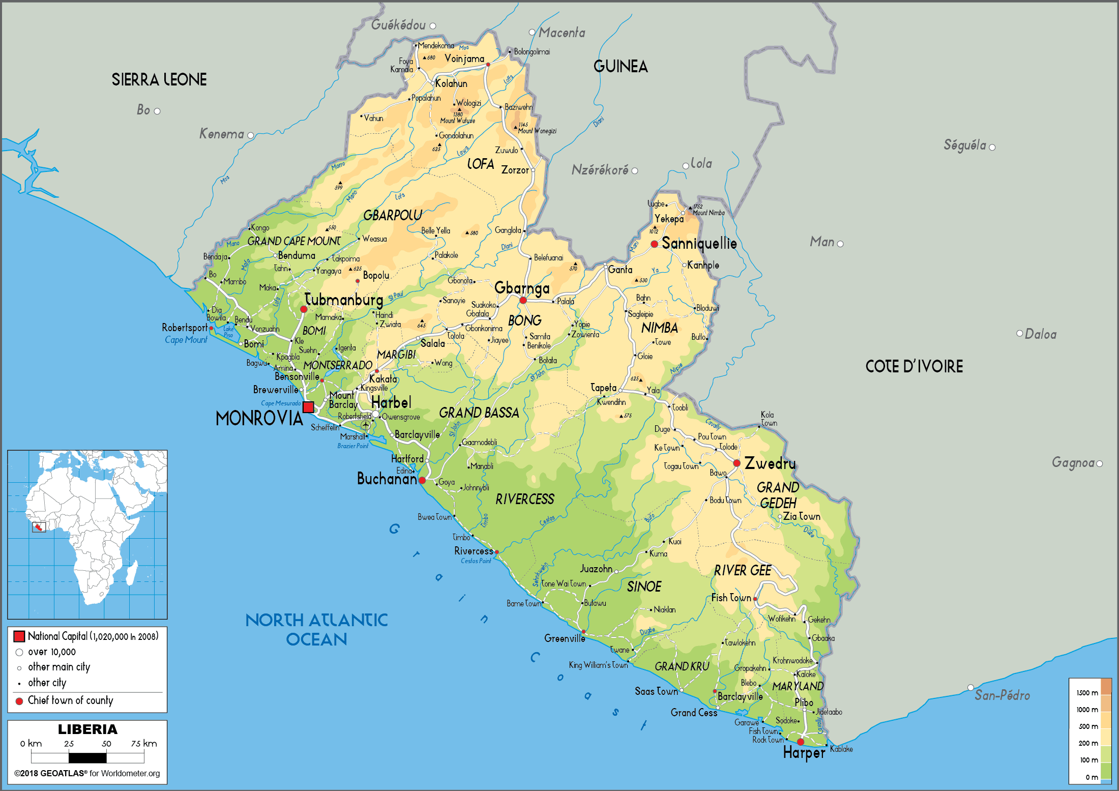
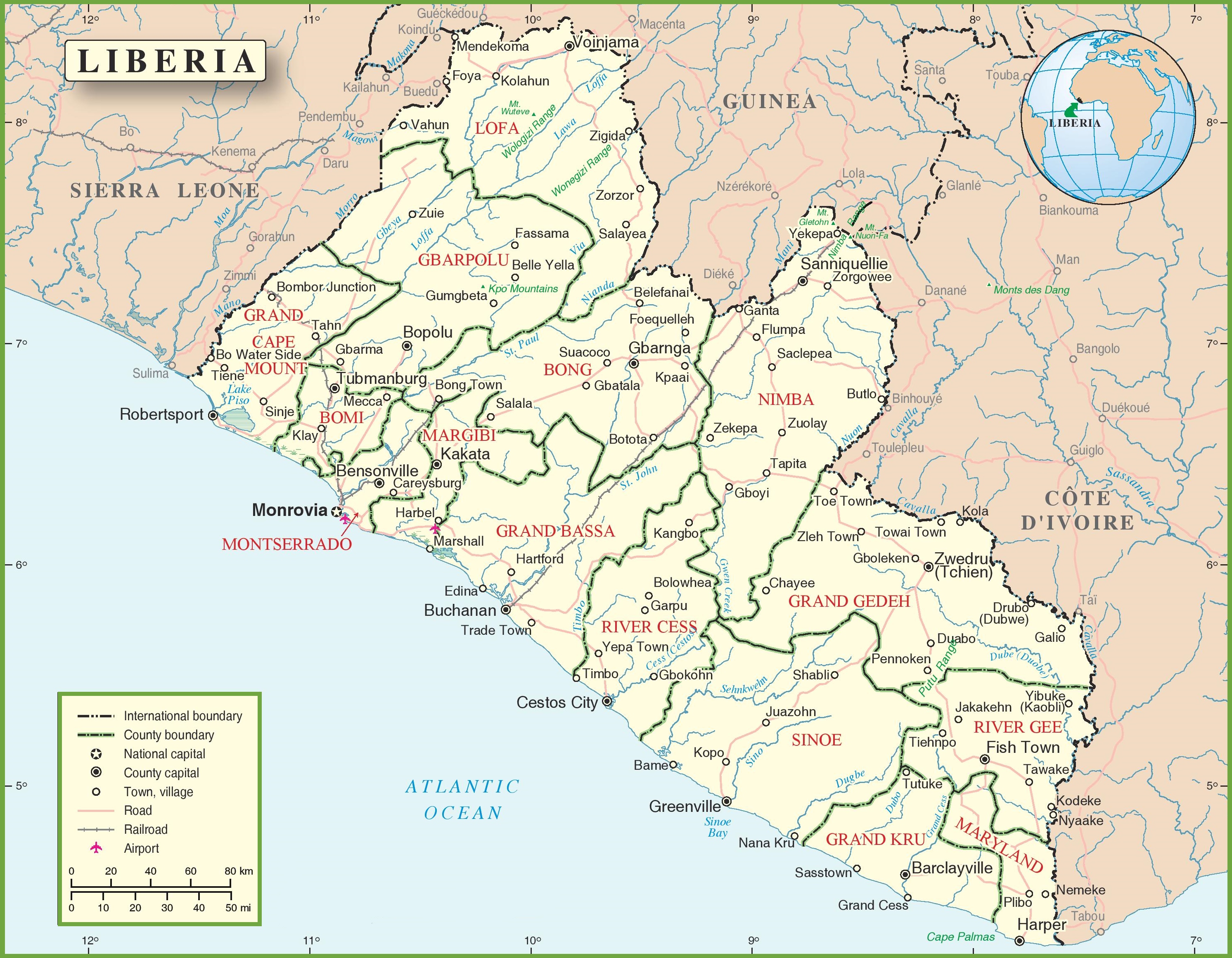
로파나 로파는 마센타 북동쪽 기니 동부에서 머리받이가 발원하는 강이다.이 강은 북대서양으로 흘러 들어가기 전에 북동쪽 라이베리아를 통해 남서쪽으로 흐른다.[1]역사적으로 그것은 리틀 케이프 마운트 강으로도 알려져 있다.[2]로라 강은 라이베리아의 로파 카운티의 로파 강으로 들어간다.[1]
토착종에는 피그미 하마가 있다.[3]1950년대 말과 1960년대 초에 로파 강을 따라 다이아몬드 채굴을 허가받았다.[4]
메모들
- ^ a b (1)"Liberia Physical Map". Worldometers. Archived from the original on 24 June 2020. Retrieved 24 June 2020..
(2) "Liberia Political Map". OnTheWorldMap. Archived from the original on 24 June 2020. Retrieved 24 June 2020.. - ^ Sims, James L.; Seymour, George L.; Anderson, Benjamin J. K.; Fairhead, James (2003). African-American Exploration in West Africa: Four Nineteenth-century Diaries. Indiana University Press. p. 375. ISBN 0-253-34194-9.
- ^ "At last New York has a pair of pygmy hippos" (PDF). The New York Times. 14 July 1912. Retrieved 12 January 2009.
- ^ Greenhalgh, Peter (1985). West African Diamonds. Manchester University Press. pp. 72–73. ISBN 0-7190-1763-7.
