성조기국유적길
Star-Spangled Banner National Historic Trail| 성조기 민족역사길 | |
|---|---|
 맥헨리 요새의 성조기 국가역사길 | |
| 위치 | 메릴랜드, 버지니아 및 미국 컬럼비아 특별구 |
| 좌표 | 39°15°47°N 76°34′54″w/39.26306°N 76.58167°W좌표: 39°15°47°N 76°34°54°W / 39.26306°N 76.58167°W / |
| 설립된 | 2008년 5월 8일 |
| 이사회 | 국립공원관리국 |
| 웹 사이트 | 성조기국유적길 |
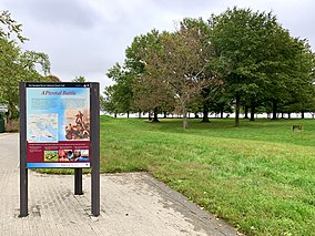
성조기 국가역사길은 1812년 체서피크 전쟁을 기념하는 국가역사길이다.560마일(900km)에 이르는 이 산책로는 미국의 국가인 "성조기"에서 이름을 따왔다.수상과 육로로 구성된 이 트레일은 버지니아 탕헤르 섬에서 메릴랜드 남부, 콜롬비아 특별구, 체서피크 만, 메릴랜드 볼티모어를 거쳐 뻗어 있습니다.이 탐방로에는 메릴랜드 동부 [1]해안의 유적지들도 포함되어 있다.
트레일의 활동에는 하이킹, 자전거 타기, 보트 타기, 그리고 성조기 지오트레일에서의 지오캐싱이 포함됩니다.그 산책로에는 영국에 의해 습격당하거나 불태워진 마을, 전투와 교전, 박물관, 요새 등이 있다.
그것은 [1]2008년 천연자원 통합법에 의해 승인되었다.
레퍼런스
- ^ a b "Learn About the Park - Star-Spangled Banner National Historic Trail". National Park Service. Retrieved July 27, 2022.
외부 링크


